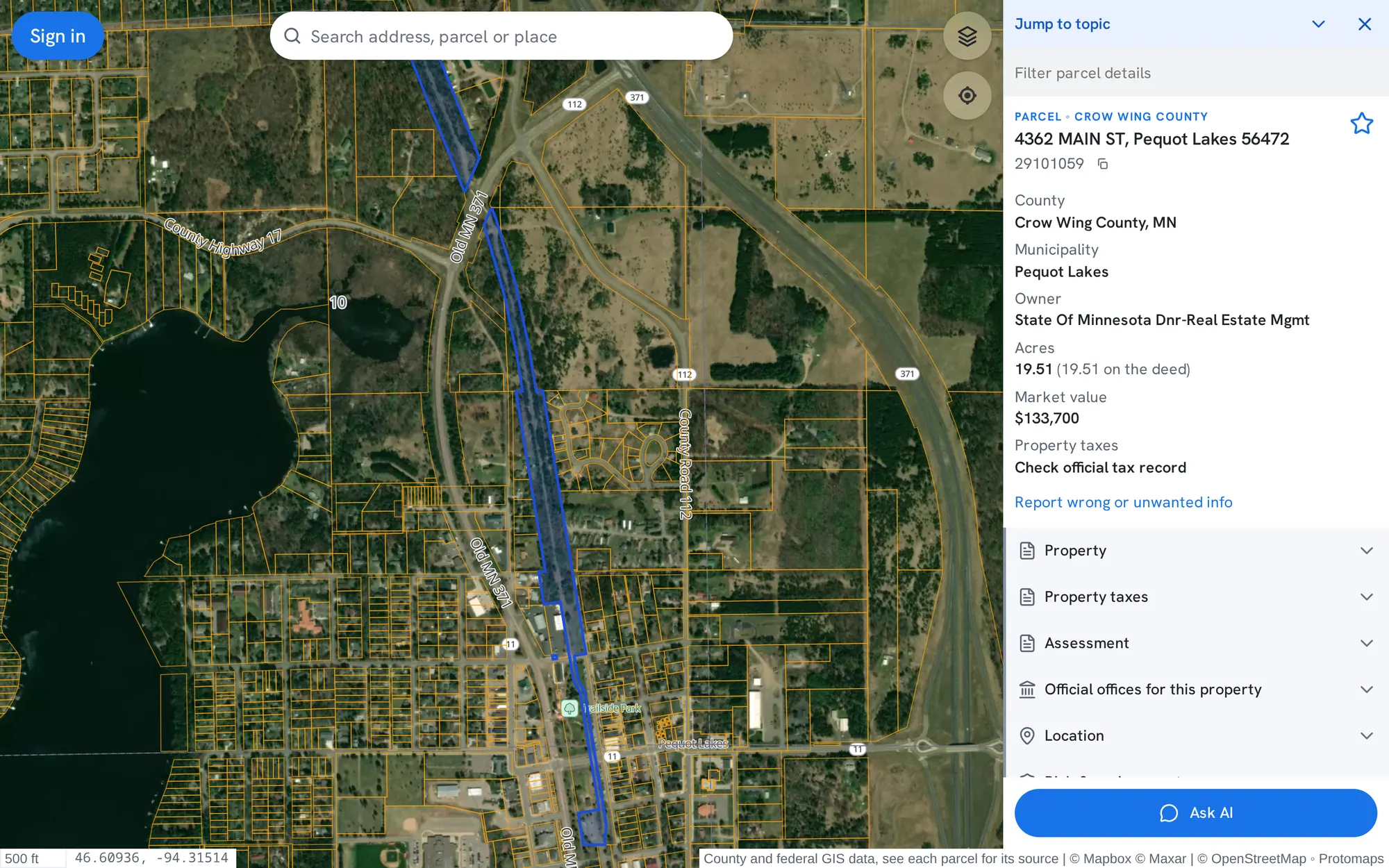
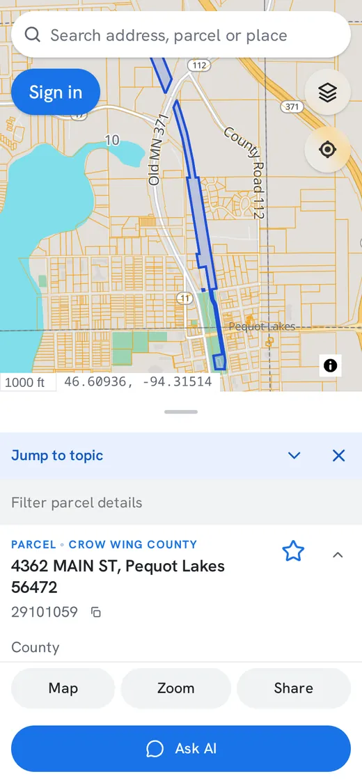
Search parcels across counties, find vacant land and work with owner, assessment and land-condition records in one place. It is the same PublicGIS map and account, with plans sized for daily professional research.
One accounton the map, Land Finder and every device
Land Finder
Land Finder at a glance
Search
Vacant land or all parcels
Where
Up to 10 counties at once, or your map area
Size
Minimum and maximum acres
Conditions
Mapped roads, water, wetlands, 1% floodplain and slope
Results
Parcel outlines, links to the map and CSV download
Price
Free to search; CSV download needs a free account and counts toward its export allowance
Available today
Everything you need for parcel research
Everything here works now on www.publicgis.com. Records vary by county, so check coverage where you work.
Advanced land search
Land Finder searches vacant land or every parcel by acreage, then narrows by mapped road, water, wetland, floodplain and slope conditions, including connected acres. Vacant-land search works where county records classify land use.
Parcel lines, owner and assessment records, zoning, flood zones, wetlands, soils and links to official county records, on one map that works on your phone.
Select an area on the map to gather its parcels into a list, review them together, save them as a collection on every device and share a read-only link.
Exports and mailing labels
Export lists to CSV or Excel, build owner lists, print a map with its list and make mailing labels. Each plan has daily and monthly export allowances.
Owner search and common ownership
Paid plans search parcels by owner name. Pro and business plans add a Land Finder search for parcels that may share an owner.
Owner contact reveals
Business plans include a monthly number of owner phone and email reveals for real estate use in supported states, currently Minnesota, after a one-time access request.
Coming soon
In development
These are not available yet.
Change alerts
Email when a watched parcel's public record changes. No plan includes them yet.
Parcel data API
A REST API and MCP server for parcel facts with sources and dates. Read the developer preview. Sign-up is not open yet.
Plans
Plans for professional research
Monthly plans on your PublicGIS account. Cancel any time from your account page.
There is no separate business sign-up. A plan upgrades the account you already use on the map and in Land Finder.
Create a free accountSign in with Google, Microsoft, Yahoo or an emailed code.
Explore for freeUse the map, Insights and Land Finder on the Free plan.
Upgrade when you need moreChoose Pro, or contact us about a business plan. Payments are handled by Stripe.
Keep workingYour plan's features and allowances apply wherever you sign in.
Questions
Before you choose a plan
Is Land Finder free?
Searching is free for everyone at www.publicgis.com/land, within each plan's daily row allowance. Downloading results as CSV needs a free account and counts toward the plan's daily and monthly export allowance. Paid plans raise daily allowances and add owner name search, common-ownership search, and business plans add owner contact reveals.
Which counties are covered?
Coverage grows county by county, and the records each county publishes differ. Check coverage before choosing a plan. A paid plan does not add data a county has not published.
Are these parcels for sale?
Not necessarily. PublicGIS shows public parcel records, not property listings. Mapped acreage and conditions do not establish building eligibility, so confirm boundaries, access and permitted uses with the county.
Can I cancel?
Yes, any time, from Manage billing on your account page. Your plan stays active until the end of the month you paid for.
Need more than a plan?
Accounts for a team, an invoice, or higher allowances. Tell us what you need and we will email you a price.